The Cairngorms, Scotland – Let’s explore here
The Cairngorms is the UKs largest national park. The stunning mountain range is located in the east of Scotland, in the Scottish Highlands. In addition to the amazing views, there’s loads of wildlife that you don’t often sea in other parts of the country.
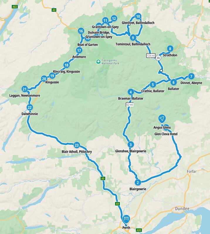
Our route is around 285 miles (455 km) long, and takes you through all of the best parts of the national park, including the full length of the famous snow road.
Map of our road trip through the Cairngorms
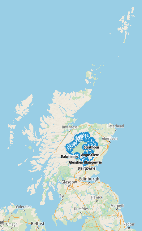
Map of the location of the route within Scotland
Where route does the Cairngorms road trip take?
Our Cairngorms road trip journeys through the following places:
Angus Glens – Glen Clova Hotel – Blairgowrie – Glenshee – Braemar – Crathie – Ballater – Dinnet – Strathdon – Tomintoul – Glenlivet – Grantown-on-Spey – Cromdale – Dulnain Bridge – Nethy Bridge – Boat of Garten – Carrbridge – Aviemore – Kincraig – Kingussie – Newtonmore – Laggan – Dalwhinnie – Blair Atholl – Perth
More information on this road trip and photographs of places we visited can be found on the Scotland page.
We’re also creating blogs for each country when we have data, or we can find decent wifi, and we have enough power!
If you’d like any information on any of these places, please don’t hesitate to contact us!